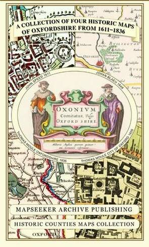


A Oxfordshire 1611 - 1836 - Fold Up Map that features a collection of Four Historic Maps, John Speed's County Map 1611, Johan Blaeu's County Map of 1648, Thomas Moules County Map of 1836 and a Plan of Oxford 1836 by Thomas Moule. The maps also feature a number of Oxfords famous historic buildings.: (Historic Counties Maps Collection)
Maps
In Stock
Quantity
Description
This folded map (890mm x 1000mm when unfolded) is an ideal souvenir for tourists to Oxfordshire and also a valuable reference resource for local and family history research. It includes 4 Historic maps of Oxfordshire, John Speed's County Map of Oxfordshire 1611, Johan Blaeu's County Map of Oxfordshire 1648,Thomas Moule's County Map of Oxfordshire 1836 and the detailed Plan of the City of Oxford 1836 by Thomas Moule. All the maps have been meticulously re-produced from antique originals and printed on 90 gsm "Progeo" paper which was specially developed as a map paper. It has high opacity to help reduce show through and a cross grain giving it greater durability to as the map is being folded.
More Details
- Imprint: Mapseeker Archive Publishing
- ISBN13: 9781844918140
- Number of Pages: 1
- Packaged Dimensions: 134x237x8mm
- Format: Maps
- Publisher: Historical Images Ltd
- Release Date: 2013-05-15
- Series: Historic Counties Maps Collection
- Binding: Sheet map, folded
Delivery Options
Home Delivery
Store Delivery
Free Returns
We hope you are delighted with everything you buy from us. However, if you are not, we will refund or replace your order up to 30 days after purchase. Terms and exclusions apply; find out more from our Returns and Refunds Policy.