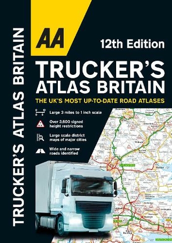

AA Trucker's Atlas Britain: (12th New edition)
Paperback
In Stock
Quantity
Description
Fully updated for 2024, the atlas includes truck and freight ferry routes and port plans, route planner map, quick reference distance chart and an explanatory list of restricted motorway junctions. Additionally there is a 12-page section of London street mapping with height, width and weight restrictions clearly marked, as well as large scale district maps of London, Birmingham, Glasgow, Manchester and Tyne & Wear. Information of particular importance to truck drivers is emphasised on the mapping which includes over 3,600 bridge heights, with the most frequently struck rail bridges highlighted. Roads less than 4 metres wide are distinguished, as well as road tunnels, toll roads, service areas, steep gradients, level crossings and low emission zones. A special feature, in conjunction with Network Rail's campaign, provides useful information on prevention of bridge strikes - an essential read for all truck drivers and other professionals in the haulage industry.
More Details
- Imprint: Automobile Association
- ISBN13: 9780749583583
- Number of Pages: 144
- Packaged Dimensions: 285x402mm
- Format: Paperback
- Publisher: AA Publishing
- Release Date: 2023-10-26
- Binding: Spiral bound
Delivery Options
Home Delivery
Store Delivery
Free Returns
We hope you are delighted with everything you buy from us. However, if you are not, we will refund or replace your order up to 30 days after purchase. Terms and exclusions apply; find out more from our Returns and Refunds Policy.