
Berlin Intelligence Map
Maps
In Stock
Quantity
Description
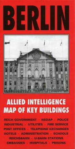
Published specially by After the Battle to coincide with the suspension of Allied occupation rights in Berlin in October 1990, this map was produced in 1944 by the War Office and lists the location and use of all important buildings in Berlin to be used in the occupation of the city. Every building associated with the Reich Government, NSDAP, police, fire service, Reichsbahn, U-Bahn, hospitals, telephone exchanges, embassies, prisons, etc., is numbered and referenced to an index printed on the reverse of the map. This sheet covers the central area at 1:12500.
More Details
- Imprint: After the Battle
- ISBN13: 9781870067331
- Packaged Dimensions: 152x297mm
- Format: Maps
- Publisher: Pen & Sword Books Ltd
- Release Date: 2001-01-30
- Binding: Sheet map, flat
Delivery Options
Home Delivery
Store Delivery
Free Returns
We hope you are delighted with everything you buy from us. However, if you are not, we will refund or replace your order up to 30 days after purchase. Terms and exclusions apply; find out more from our Returns and Refunds Policy.