

Italy South - Michelin Regional Map 564: Map (2019)
Maps
In Stock
Quantity
Description
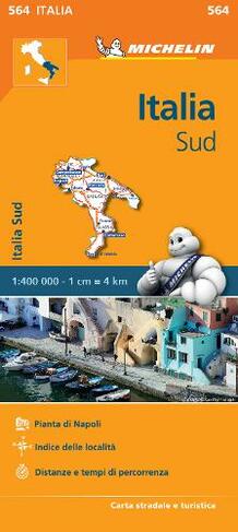
(Edition updated in 2019) MICHELIN Italy South Regional Map scale 1/400,000 will provide you with an extensive coverage of primary, secondary and scenic routes for this region. In addition to Michelin's clear and accurate mapping, this regional map includes all the practical information for a trouble free journey, including major town plans as well as tourism information. Picturesque routes are bordered by a green border. With MICHELIN Regional Maps, find more than just your way!
MICHELIN REGIONAL MAPS include practical information for a trouble free journey and show primary & secondary road networks.
* Administrative boundaries
* Scenic routes and tourist sights
* Place name index
* Time and distance charts
* Plans for a selection of major towns
* Practical information: danger alerts, service stations, picnic areas
About the Author
In 1889 two brothers, Andre and Edouard Michelin, took over management of a tyre factory in France. This was the start of a great odyssey to develop human transport solutions, while valuing safety, efficiency and the pleasures of driving on the road. In 1908, Andre opened the Travel Information Bureau in Paris to help travellers plan their itineraries and then in 1910 the first Michelin road map was published. Today, Michelin has one of the best mapping systems in the world and offers atlases, maps and travel guides for many countries. The iconic Michelin Man, called Bibendum, is one of the most recognised logos of all time - Andre and Edouard's vision of how a pile of tyres would look if they made a man.
More Details
- Imprint: Michelin Editions des Voyages
- ISBN13: 9782067184053
- Number of Pages: 1
- Packaged Dimensions: 113x250x5mm
- Packaged Weight: 118
- Format: Maps
- Publisher: Michelin Editions des Voyages
- Release Date: 2013-03-25
- Series: Michelin Regional Maps
- Binding: Sheet map, folded
- Biography: In 1889 two brothers, Andre and Edouard Michelin, took over management of a tyre factory in France. This was the start of a great odyssey to develop human transport solutions, while valuing safety, efficiency and the pleasures of driving on the road. In 1908, Andre opened the Travel Information Bureau in Paris to help travellers plan their itineraries and then in 1910 the first Michelin road map was published. Today, Michelin has one of the best mapping systems in the world and offers atlases, maps and travel guides for many countries. The iconic Michelin Man, called Bibendum, is one of the most recognised logos of all time - Andre and Edouard's vision of how a pile of tyres would look if they made a man.
Delivery Options
Home Delivery
Store Delivery
Free Returns
We hope you are delighted with everything you buy from us. However, if you are not, we will refund or replace your order up to 30 days after purchase. Terms and exclusions apply; find out more from our Returns and Refunds Policy.