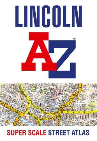

Lincoln A-Z Super Scale Street Atlas: A4 Paperback (New edition)
Paperback
In Stock
Quantity
Description
A-Z street map of Lincoln and Newark-on-Trent with 34 pages of coloured road maps extending to these areas:
Saxilby, Skellingthorpe, Welton, Langworth, Wragby, Washingborough, Branston, Metheringham, Waddington, Navenby, Bassingham, Collingham, North Muskham.
In addition, there is a large scale city centre map of Lincoln.
Postcode districts, one-way streets and tourist features are featured on the street mapping.
The index section lists streets, selected flats, walkways and places of interest, place, area and station names, hospitals and hospices covered by this street atlas.
Main map scale 1:13 770 - 4.6 inches to 1 mile - 7.3 cm to 1 km
About the Author
Britain's leading street map publisher providing cartographic services, digital data products and paper mapping publications (including Street Atlases, Visitors Guides, Great Britain Road Atlases and The Adventure Atlas).
More Details
- Imprint: HarperCollins
- ISBN13: 9780008436681
- Number of Pages: 56
- Packaged Dimensions: 206x297x4mm
- Packaged Weight: 270
- Format: Paperback
- Publisher: HarperCollins Publishers
- Release Date: 2020-08-06
- Binding: Paperback / softback
- Biography: Britain's leading street map publisher providing cartographic services, digital data products and paper mapping publications (including Street Atlases, Visitors Guides, Great Britain Road Atlases and The Adventure Atlas).
Delivery Options
Home Delivery
Store Delivery
Free Returns
We hope you are delighted with everything you buy from us. However, if you are not, we will refund or replace your order up to 30 days after purchase. Terms and exclusions apply; find out more from our Returns and Refunds Policy.