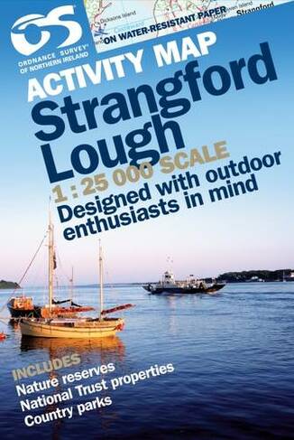

Strangford Lough: (Irish Activity Map)
Maps
In Stock
Quantity
Description
both sides, colour
More Details
- Imprint: Ordnance Survey of Northern Ireland
- ISBN13: 9781905306275
- Packaged Dimensions: 136x205mm
- Format: Maps
- Publisher: Ordnance Survey
- Release Date: 2008-03-01
- Series: Irish Activity Map
- Binding: Sheet map, folded
Delivery Options
Home Delivery
Store Delivery
Free Returns
We hope you are delighted with everything you buy from us. However, if you are not, we will refund or replace your order up to 30 days after purchase. Terms and exclusions apply; find out more from our Returns and Refunds Policy.